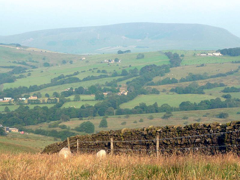
Alex Whitlock gave an interesting talk last evening on the initial results of the field walking and investigations undertaken over the last 12 months by the Archaeological Group.
Potentially pre Conquest, possibly prehistoric, sites have been discovered in the valley near Sabden, some of which have been incorrectly labelled in the past. A typical example was a depression marked on early maps as a trackway which in reality is the remnants of early surface digging of an exposed coal seam! By using old maps and photographs, field walking and new technology to examine the area in different ways a picture is starting to develop of a landscape that has been used and transformed by man over many centuries. Among the amazing tools now available to groups investigating the landscape is LIDAR which uses lasers to measure the contours of the landscape whilst ignoring any foliage, trees etc. The results are remarkable. Several people commented afterwards that most of us walk through the landscape and see nothing or if we do, we don’t realise what we’re looking at! That’s what makes field walking with the group so interesting – why not join us?

